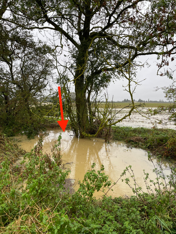
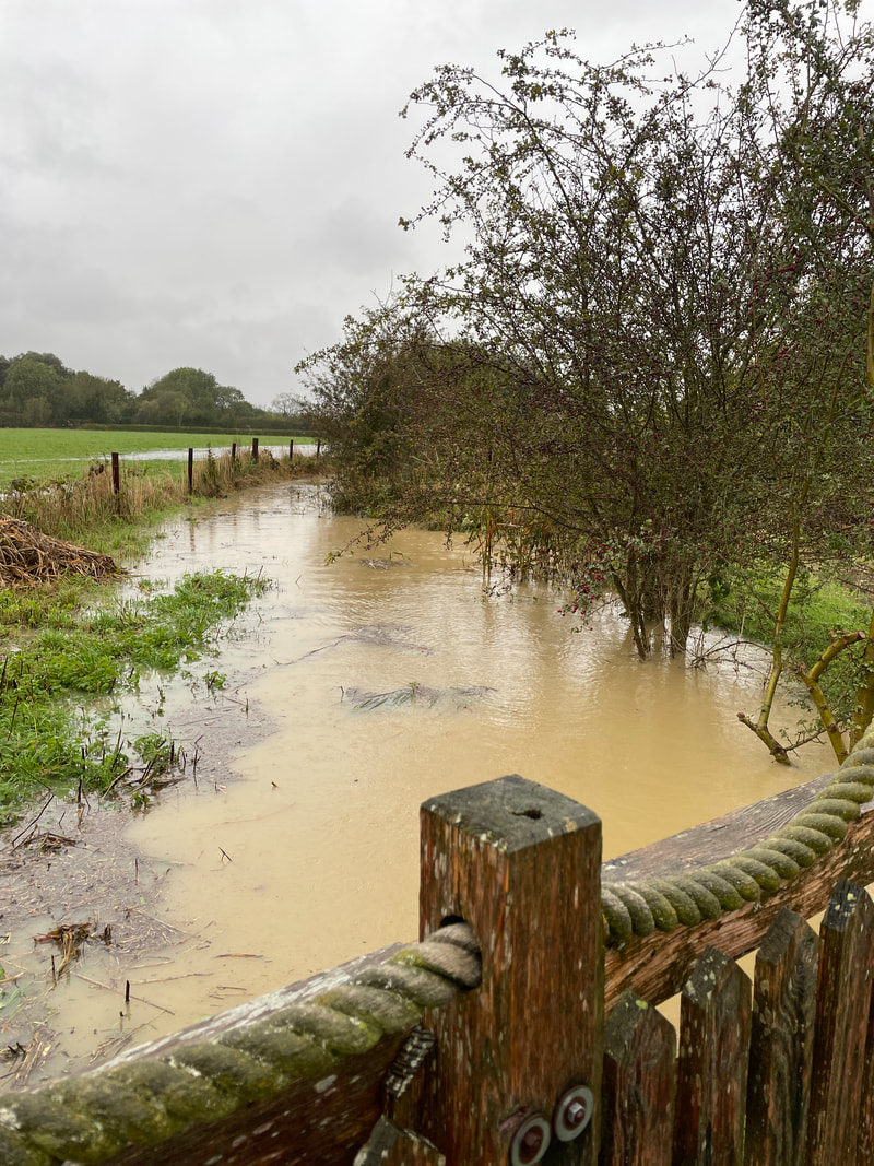
The red arrow is pointing at the position of the entrance into the drain under the field, to the south of the bridleway. It's under at least four feet of water.
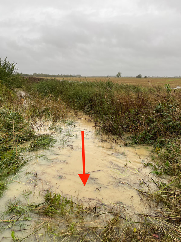
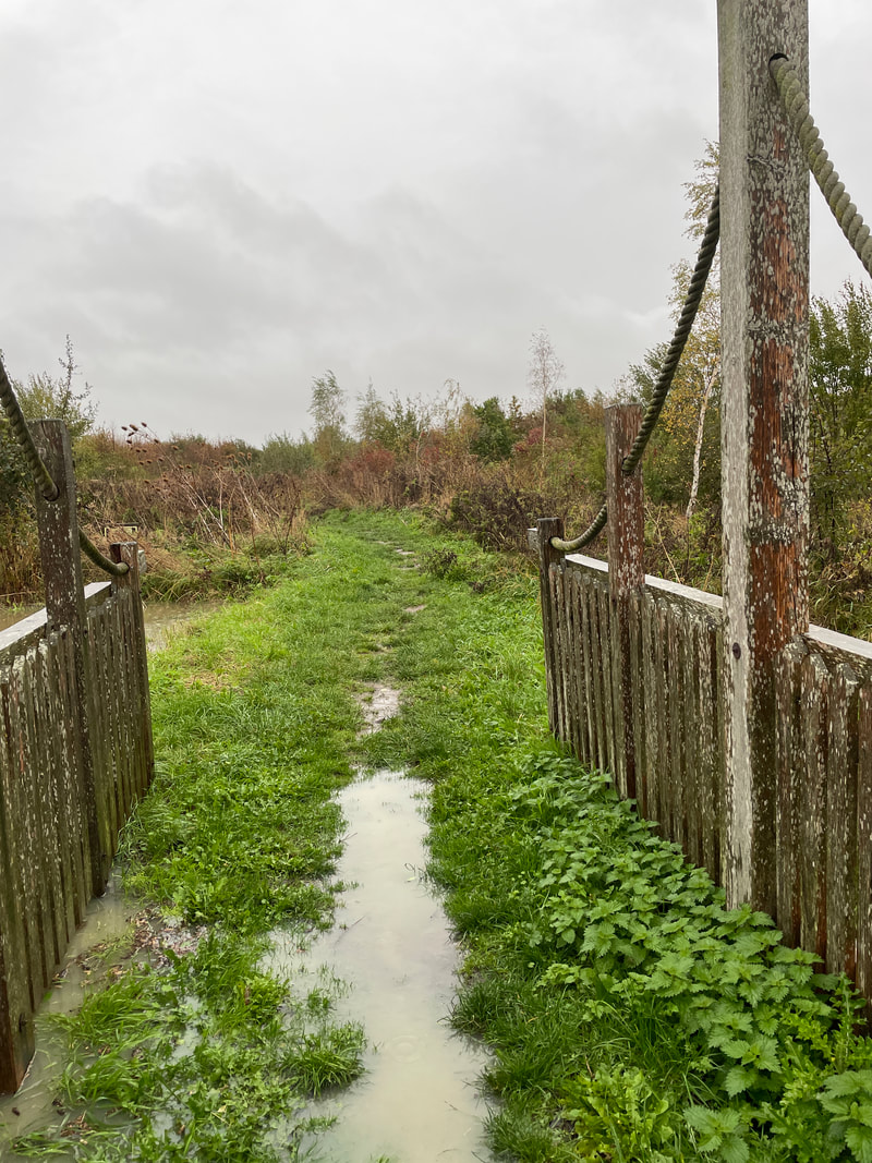
This is the north side of the bridleway where we cleared the culvert entrance the other day.
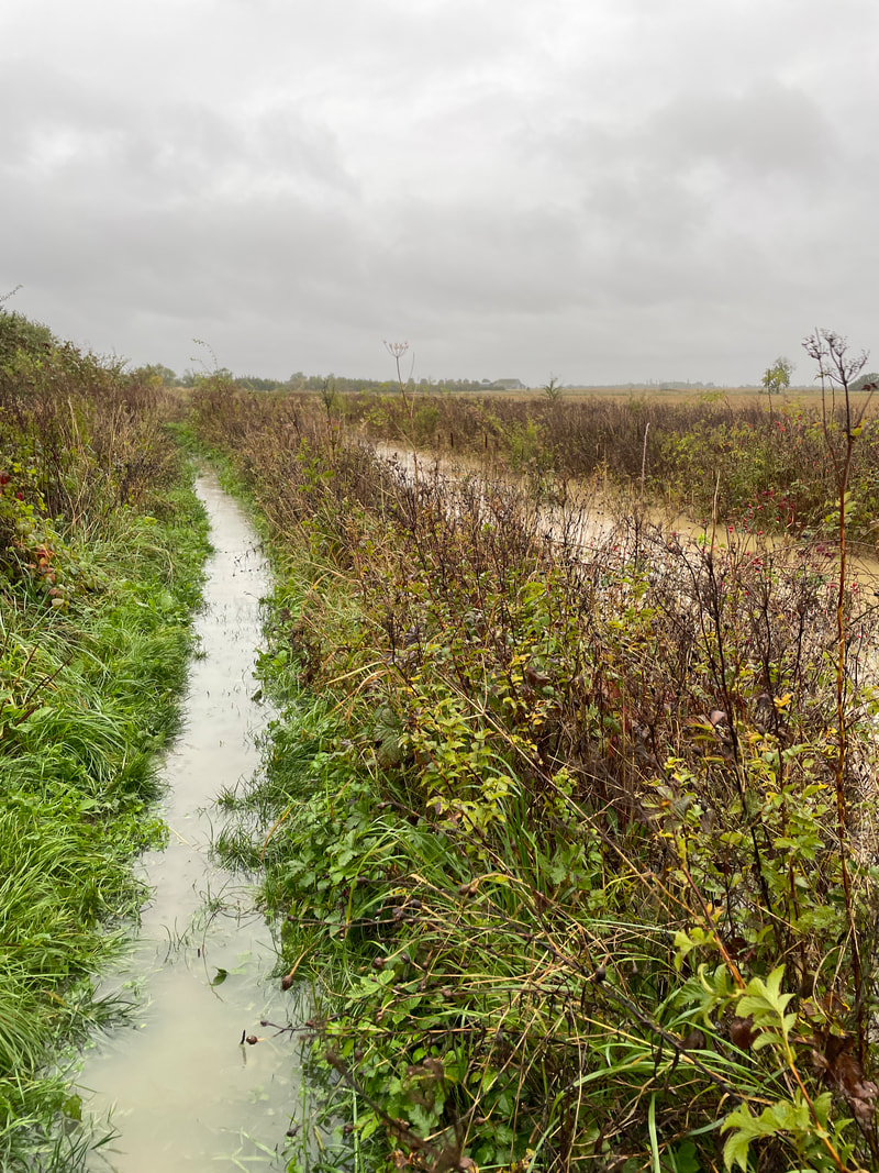
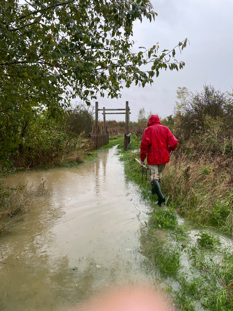
The water is out of the ditch onto the path between Coop Lake and the kissing gate onto the bridleway
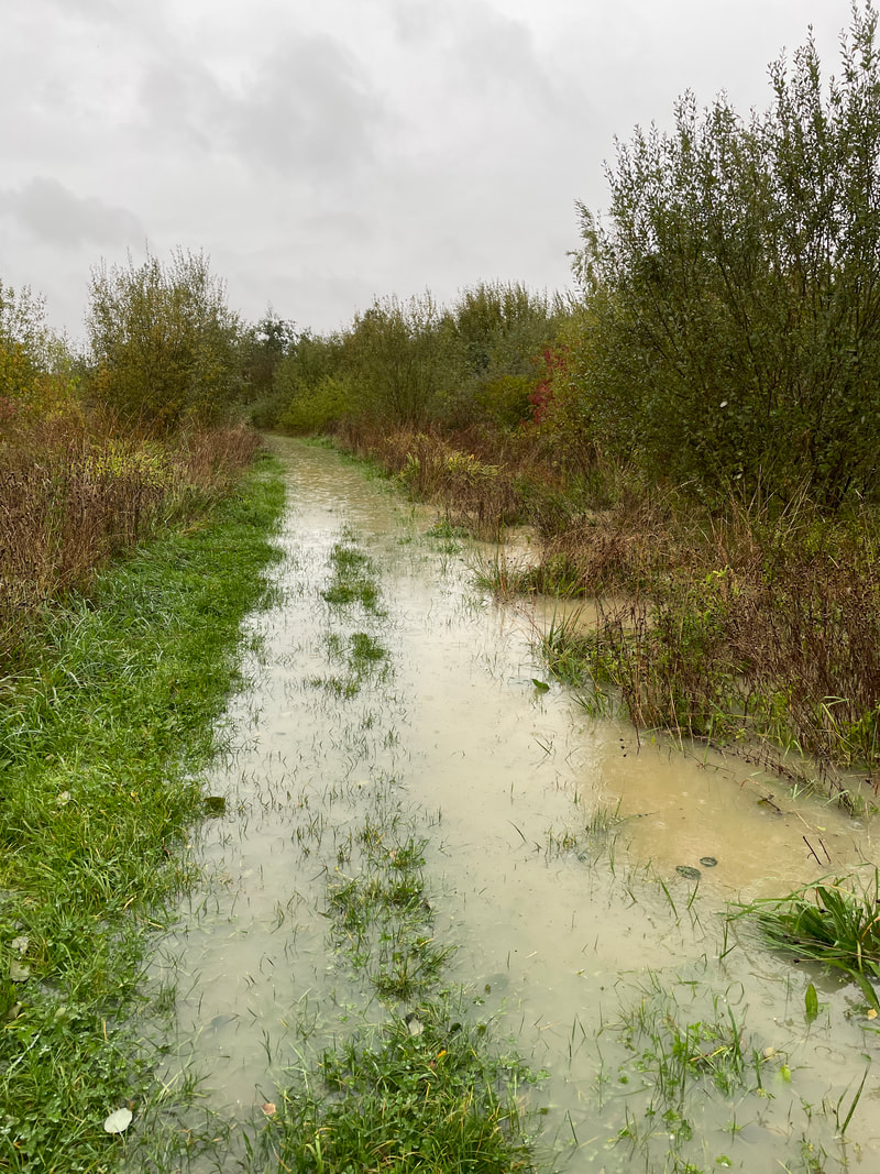
This is a low spot on the ride through Middle Wood
Approaching the Humber Bridge
Looking west on the Humber Bridge
Looking east on the Humber Bridge
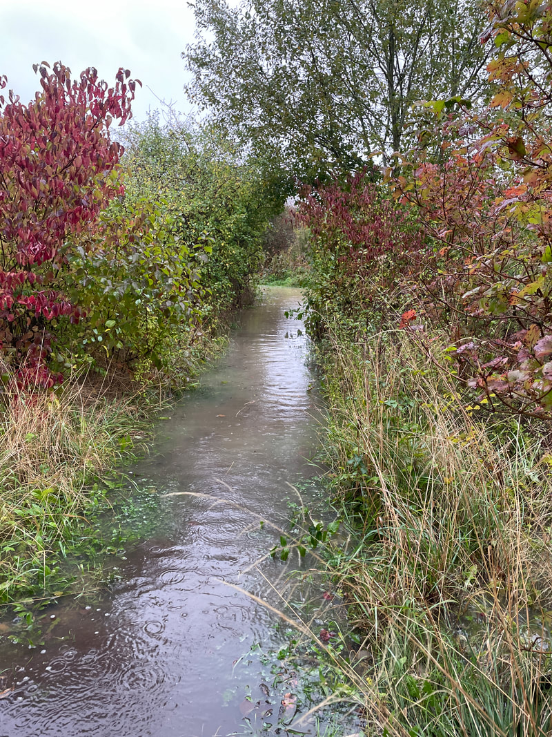
The the north end of the footpath between Middle Wood and New Meadow
23/10/21 The effect of Storm Babet on the lower Barlings Eau